Useful Info
PDM Ponta do Sol: Consult and Analyse
01/03/26By Francisco Gonçalves
Access and consult Ponta do Sol’s PDM. Learn how to understand zoning, restrictions, and opportunities in the Municipal Development Plan quickly and easily.
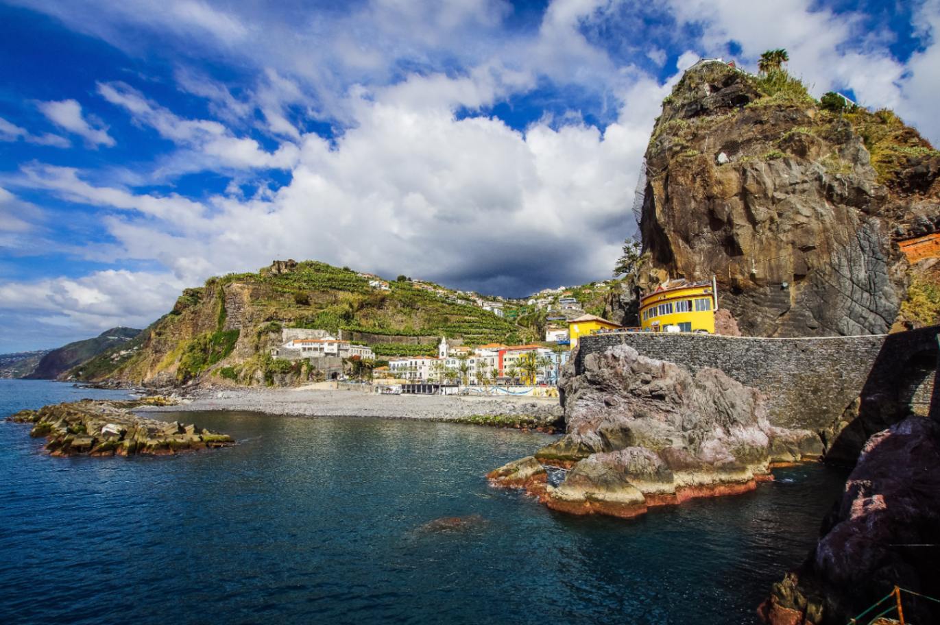
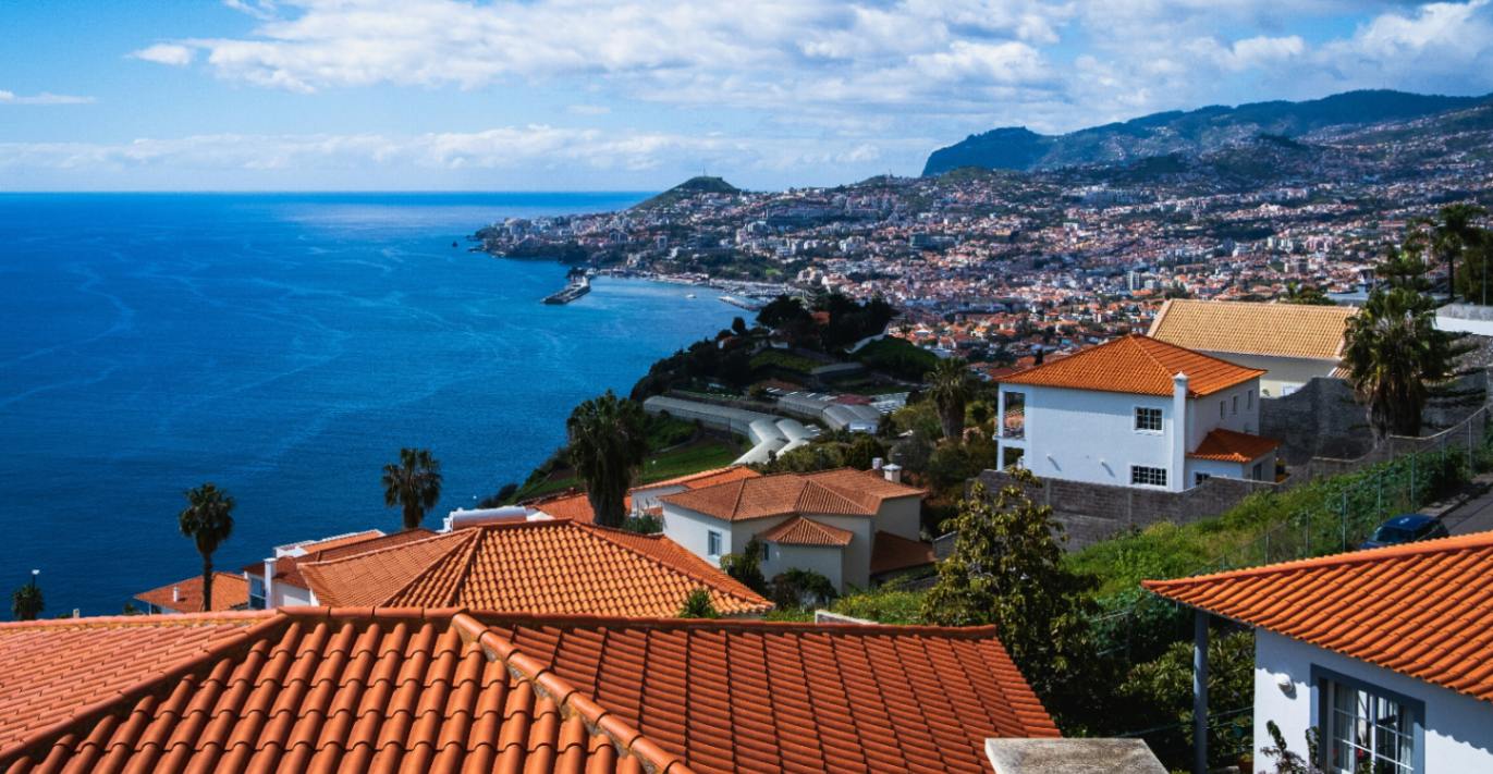
Reviewing the PDM of Ponta do Sol is essential to understand land-use rules, identify restrictions, and assess the potential of a plot or property. Through the plans and the regulation, you can verify urban areas, agricultural zones, constraints and servitudes that may influence construction or investment projects.
How to Access the PDM of Ponta do Sol
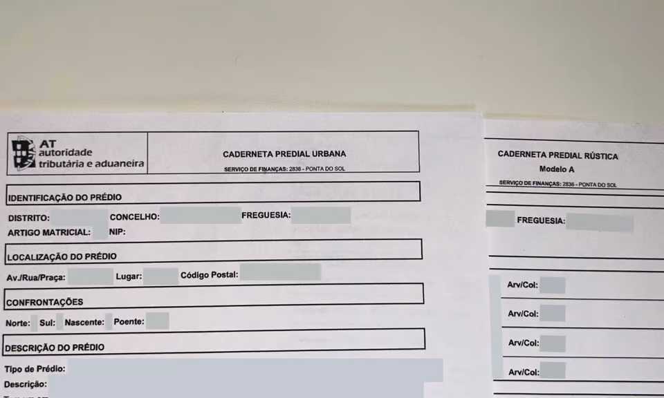
Access to the PDM of Ponta do Sol is provided through the official municipal portal, where all documents are available in PDF format. You can consult here: Municipality Portal
You can consult such information in the official links:
Since the documents are provided in PDF, downloading them is recommended. This allows you to zoom into the maps, read the legends clearly and compare different layers especially useful for those planning to buy, rebuild or apply for a building licence in the municipality.
How to Interpret and Analyse the Plano Diretor Municipal
Analysing the PDM requires cross-referencing three main elements: the Regulation, the Zoning Plan and the Constraints Plan. The Zoning Plan identifies, through colours and patterns, the type of land and what is allowed in each area. Common colour representations include:
The Constraints Plan shows limitations and servitudes that may restrict construction or land use. Common patterns include:
The Regulation details the rules applicable to each land category, including:
The ideal analysis process is to locate the plot on the Zoning Plan, verify all applicable constraints, and then confirm the specific rules in the Regulation articles: Ponta do Sol Municipality Portal
How to Access the PDM of Ponta do Sol
Access to the PDM of Ponta do Sol is provided through the official municipal portal, where all documents are available in PDF format. You can consult here: Municipality Portal
You can consult such information in the official links:
- Regulatory Document (Rules and applicable articles)
- Zoning Plant
- Conditioning Plant
- Regional Context Map
- PROTRAM Context Map
- Municipal Agricultural Reserve Map
- Acoustic Classification Map
- Municipal Ecological Structure Map
Since the documents are provided in PDF, downloading them is recommended. This allows you to zoom into the maps, read the legends clearly and compare different layers especially useful for those planning to buy, rebuild or apply for a building licence in the municipality.
How to Interpret and Analyse the Plano Diretor Municipal
Analysing the PDM requires cross-referencing three main elements: the Regulation, the Zoning Plan and the Constraints Plan. The Zoning Plan identifies, through colours and patterns, the type of land and what is allowed in each area. Common colour representations include:
- Yellow / Orange – Urban Land
- Brown / Beige – Developable Urban Areas
- Light Green – Agricultural Areas
- Dark Green – Forest Areas
- Blue – Water Domain
- Purple / Grey – Facilities or Infrastructure Areas
The Constraints Plan shows limitations and servitudes that may restrict construction or land use. Common patterns include:
- Hatched lines – risk zones
- Parallel stripes – protection of water lines
- Red markings – administrative servitudes
- Geometric patterns – RAN or REN areas
- Specific boundaries – ecological, coastal or special protection areas
The Regulation details the rules applicable to each land category, including:
- Maximum building indices
- Permitted and prohibited uses
- Building heights and volumetry
- Conditions for reconstruction, extension or alterations
- Agricultural, forestry and environmental restrictions
- Requirement for external authority opinions
The ideal analysis process is to locate the plot on the Zoning Plan, verify all applicable constraints, and then confirm the specific rules in the Regulation articles: Ponta do Sol Municipality Portal
Need Help?
Have a question about the real estate market?
Q&AHave a specific request?
Specific request? Please Contact usMore Useful Information
Renting vs Buying in Madeira: What Makes More Sense?
With property prices rising consistently over recent years and demand showing no signs of slowing down, the question many people ask when considering Madeira is a straightforward one: is it better to rent or to buy?

AL in Funchal: The Future of Short-Term Rentals
New regulations for Short-Term Rentals are transforming Madeira's property market. What does this mean for those who have already invested, those looking to buy, and the future of property prices on the island?
Rustic vs Urban: Key Property Differences
Discover the differences between rustic and urban properties in Portugal, including taxation, legal uses, and how to change a property from rustic classification to urban.